
As many who keep a regularly eye on the forecast will have spotted, there’s a serious low pressure forecast to slam into Western Europe early to mid week.
We’ve been reluctant to make a big song and dance about it as the forecast has been hugely changeable – at one time forecasting wave heights of up to 18.5 feet at the peak of the storm, before settling on a more modest 13- 14 foot. However, we’ve just had the first indication that the storm is coming good, with Surfline reporting that they have received satellite observations of 60 feet waves just to the west of where the highest seas were predicted, meaning there is potential the swell is even larger at its core.
“The impressive satellite recorded wave observation is above model expectations, and it should be noted that we typically only see 60-foot-plus seas recorded in ‘surf worthy’ storms a handful of times a year.” reported Surfline.

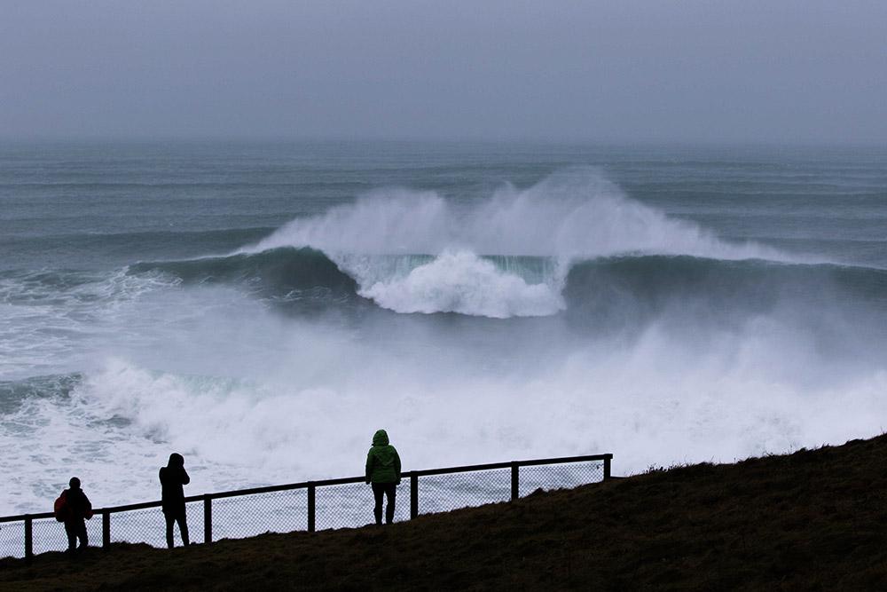
Big splash on the South Coast of Cornwall. Photo Nick Pumphrey
Western European coastlines have already been enjoying a few days of waves (dogged in many areas by unfavourable winds) however things certainly look like they’re going to be ramping up over the next 24 hours, peaking on Tuesday and then holding into mid week.
The swell is forecast to be accompanied by strong N to NW winds along the whole Western European coastline, so as usual with a large storm, it will be sheltered spots on southerly facing coastlines and peninsulas, that will enjoy the best conditions.
Don’t forget to tag any images you snap whilst out and about over the next couple of days with #wlinsta on instagram or email them directly to us at gallery@wlmedia.co.uk
Cover Photo Luke Lane Prokopiou