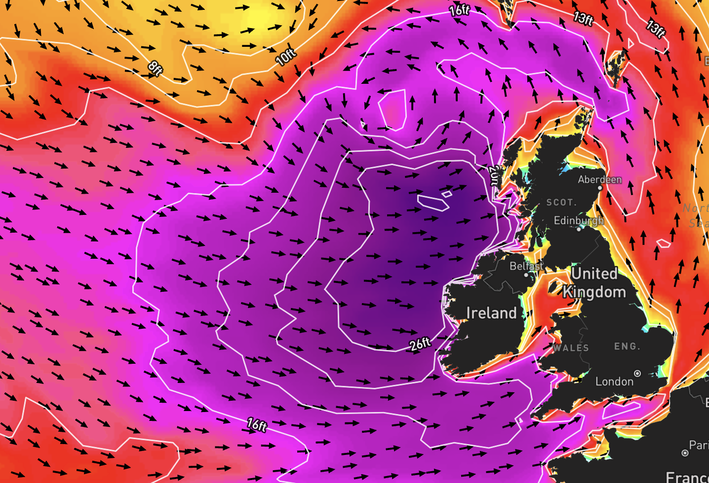
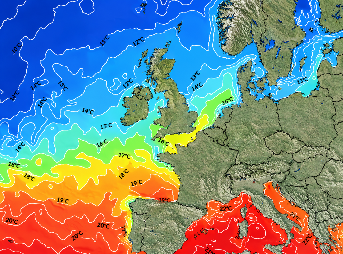
Yes, the Mediterranean gets waves. Largely thanks to localised storms which can build across the world’s largest enclosed sea – and strengthen into powerful Medicanes, that’s a hurricane in the Med.
The past few weeks and the Med’s been in over-drive. Waves in places not seen before as multiple swells ripped across the Sea, setting off the likes of Italy, Sardinia, Spain, Sicily, Sardinia, Greece and even Malta. Buoys off the coast there even recorded a record breaking 52-foot wave.
View this post on Instagram
Italy surf hound, Roby D’Amico, has been on the road, chasing swell all over: “It’s been a crazy run of swells,” he told Wavelength. “Last year was a calm winter but this year, feels like we’ve had a long-term surf trip up and down the coast. Cyclone Harry was the biggest I’ve ever experienced in the Mediterranean, regarding the power of the waves, the amount of water moving and the size of the swell.
“We had a couple of hours window and then the sea completely exploded. We would need a jet ski with big boards. We experienced the most incredible surfing day the Mediterranean has ever had. On the other side of the story, we’re very sorry to hear about the people who have lost their houses. One side is happy, one side is very happy. The swells will keep on coming and I’ll keep driving around to see what the seas can really do for us.”
View this post on Instagram
As Roby said, on the one hand is a great few days of surfing – but such is the dichotomy of storms. Cyclone Harry wreaked havoc across the Med. Extensive damage to roads, building and so much more – luckily there have been no fatalities as of yet. The Calabria regional director of the civil protection department, Domenico Costarella, described the cyclone as a “once-in-a-century event”.
And there’s more on the way too, as the Med seems to be amping up, not slowing down.
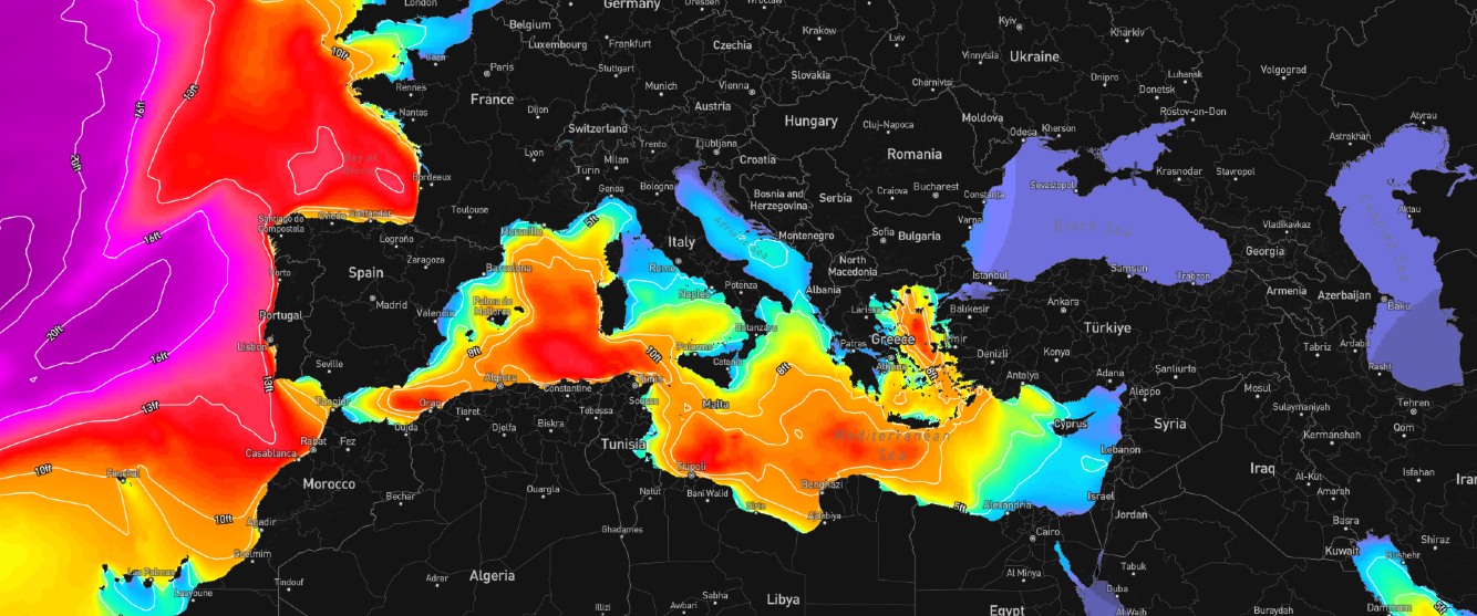
The Med, as of today, is still raging — plenty more swell out there. Pic from Wavemaps HD.
So what’s really happening in the Med? We tapped up forecaster Tony Butt to break this all down: “One of the major contributing factors to the extra storminess, and therefore wave heights, in the Mediterranean recently is the position, shape and strength of the mid-latitude jet stream,” he said.
“Think of this as the atmospheric “motorway” that influences the trajectory of storms. At the moment, the North Atlantic is in a fluid phase, where the jet between North America and Europe is strong and straight, which means a lot of energy being pumped into the lower atmosphere, leading to a continuous stream of large low pressures and large surf. In addition, the jet is entering the European continent at a more-than-usual southerly position, flowing across the Iberian Peninsula and spilling over into the Mediterranean Sea.
“As a result, the strong westerly surface flow which is causing stormy conditions and big swells in the open Atlantic, is also present in the Med.” More soon!
View this post on Instagram
View this post on Instagram
View this post on Instagram
View this post on Instagram
View this post on Instagram